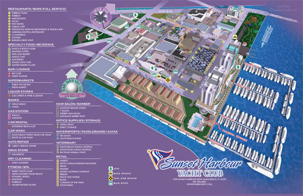
Illustrated Map of a Yacht Club and Adjacent Neighborhood - Neighborhood Illustrated Map
For information about Sunset Harbour Yacht Club see SunsetHarbourYC.com
Click on the illustration above to zoom in.
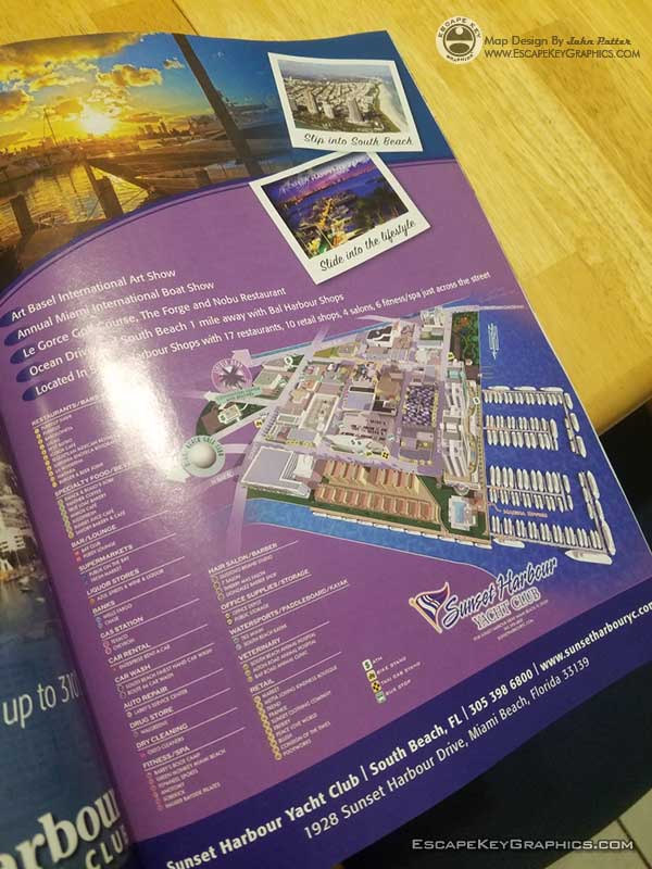
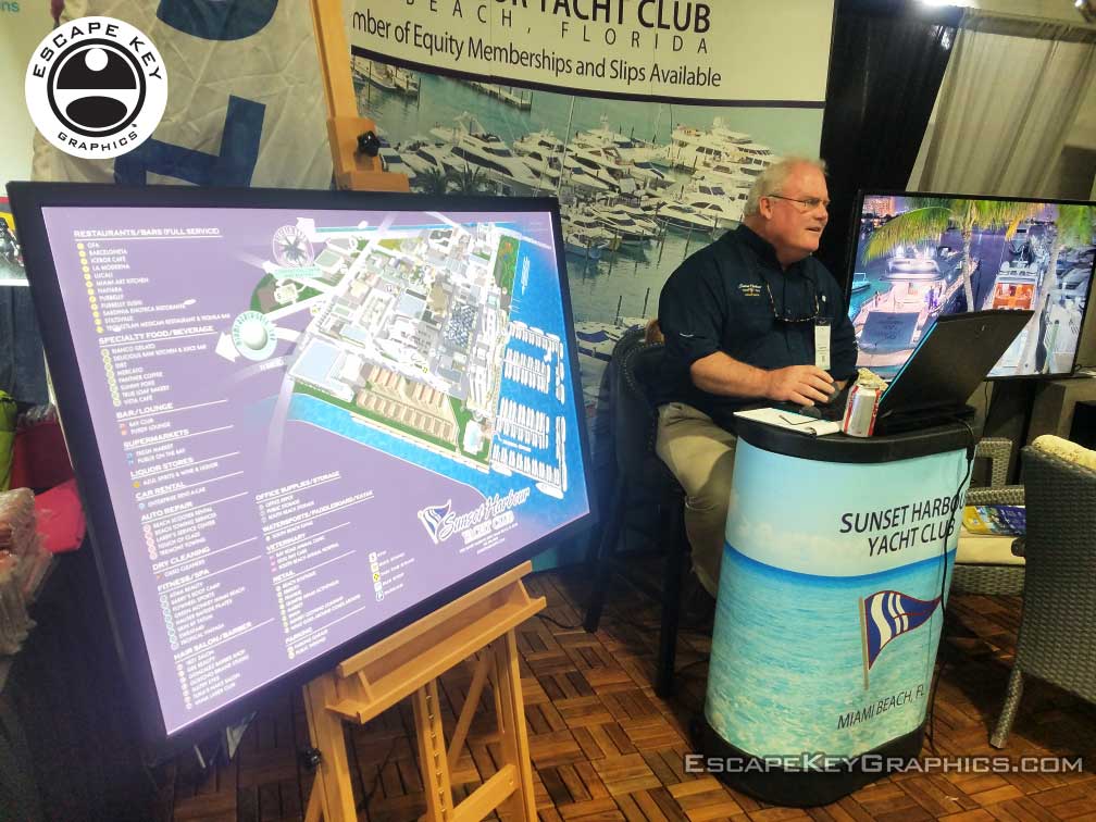
This neighborhood illustrated map shows both a marina and it's basic layout as well as the immediately adjacent neighborhood and businesses. The area is just the right scale to accommodate this type of map. Everything is to scale. I also created a more interactive version for the client which they are using on their website. The same map has also been used as a printed handout and as a sign. This illustrates the mileage you can get out of one well designed and illustrated map. Below is the map as a sign and in the show program as it has been shown at the Palm Beach International Boat Show as well as other shows.
RESORT MAPS:


MARINA MAPS:


TOWN AND CITY MAPS:
(and maps of similar areas)


TOWN, CITY & NEIGHBORHOOD MAPS:
I've have created many illustrated maps over the years showing downtowns, neighborhoods and sometimes whole cities. These maps vary in nature based on the area involved. Most span an area of a few city blocks or the equivalent. At that scale I can include a fair amount of detail and use accurate scales for buildings and such and you can still tell what you are looking at clearly. In a smaller area I can provide even more detail to the illustration, but when you need to see many, many city blocks I usually have to switch to a less literal rendering approach. I may have to take license with exaggerated scales of buildings or cartoon like renderings of points of interest. This makes for a less literal illustrated map.
With the first scale of maps at a few city blocks I have a standard, tried and true method that I've used many times. This is not to say that I am inflexible or not open to new ideas but generally speaking I can get down to work right away on one of these maps without much conversation. Assuming, of course, that the client wants a similar illustrated map to previous ones I've made.
With the larger scale maps the client has many options right off and I need to ensure that I give them what they want. This necessitates a little more conversation and consulting before I begin.I also create overhead maps including street maps. These range from the simplified to the extremely detailed. Now using Geodata (computerized geographical data that can be used to create maps and add information to those maps) I can add levels of detail, and accuracy that would have been impossible (for me at least) a few years ago.
PORTFOLIOS:
- Illustration Portfolio
- Illustrated Maps Portfolio
- Fine Art
- Graphic Design Portfolio
- Motion Design
- Animated Illustrations
- Murals
- Architectural Rendering Portfolio
- Posters Portfolio
By Software Used:
By Application or Use:
- Boat Show Map Portfolio
- Resort Map Illustrations Portfolio
- Marina Maps Portfolio
- Transit, Parking and Transportation Maps Portfolio
- Town and City Maps Portfolio
- Cover Illustration Portfolio
- Vehicle Wrap & Vinyl Wrap Portfolio
- Illustrated Park Maps Portfolio
- Wayfinding Maps Portfolio
- Proposal Renderings Portfolio
- Street Art
- Real Estate Maps Portfolio