
A color illustrated overhead map of a site plan
Client: Grand Harbor Golf and Beach Club
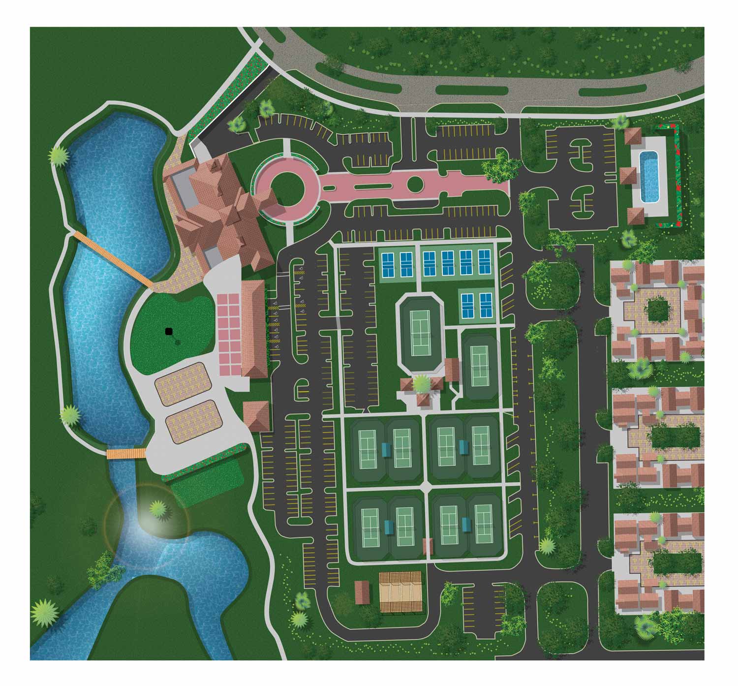
This color site plan was developed from a provided black and white CAD drawing and reworked to feel more accessible and visually engaging. The original drawing delivered accuracy and structure, but its technical appearance limited its ability to communicate clearly with a wider audience. By applying color, texture, and simplified visual cues, the plan becomes easier to read and more inviting, helping viewers quickly understand the layout without needing a background in design or architecture.
The illustration is created in a clean, overhead vector format, allowing for precise lines and consistent scale throughout the composition. Vector based artwork ensures flexibility across platforms, whether the image is used on a website, in printed marketing materials, or within a presentation. This approach supports both clarity and longevity, as the artwork can be resized or updated without loss of quality. For developers, planners, and designers, this type of site plan strikes a balance between technical accuracy and visual appeal.
Strategic use of color enhances both usability and presentation. Distinct areas, circulation paths, and key features are easier to identify, making the plan more intuitive at a glance. Color also adds warmth and personality, helping transform a strictly functional drawing into a communication tool that feels more human and approachable. This is especially valuable when sharing concepts with clients, stakeholders, or community members who may not be accustomed to reading traditional CAD drawings.
In addition to improving readability, this style of color site plan supports marketing and branding goals. A polished, approachable illustration reinforces professionalism and helps projects stand out in proposals and portfolios. By elevating an existing technical drawing into a refined visual asset, this rendering demonstrates how thoughtful illustration can improve understanding, strengthen presentation, and add value across a wide range of commercial and residential projects.


EXPLORE MY PORTFOLIOS
- Illustration: Find custom illustration, book covers, illustrated maps, and architectural rendering.
- Fine Art: Browse original paintings and drawings, the Custom Halftone Series, and murals.
- Graphic Design & Motion: See my graphic design work, plus motion design and animated illustrations.
- Maps by industry: Illustrated maps tailored for boat shows, resorts, marinas, real estate, transit & parking, towns & cities, parks, and wayfinding.
- Other project types: Also available: cover art, vehicle & vinyl wraps, proposal renderings, and street art.
- Techniques: Explore work in vector, isometric & axonometric, painting, black & white, GeoData, overhead, and halftone styles. Recently I have also begun to use AI for some specific solutions.
- Software: Primary tools: Photoshop, Illustrator, SketchUp Pro, and InDesign. Motion work uses Premiere Pro & After Effects.