
Illustrated Map for Guests and Exhibitors
Client: Informa Markets
For information on attending the Saint Petersburg Power and Sailboat Show please visit StPeteBoatShow.com

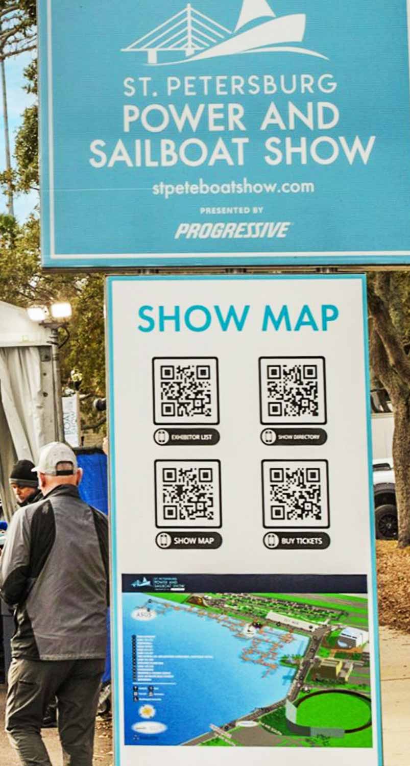
The 2025 St. Petersburg Power and Sailboat Show map continues the established visual framework that has proven effective for this event. This year’s updates focused on practical refinements to enhance clarity for attendees. The most notable change is an improvement to the map’s keying system: the points of interest are now indicated with white numbers on black dots. This adjustment was made to provide better contrast and visibility against the detailed illustration, ensuring these important locations can be identified quickly and easily.
The foundational illustration is built upon the same precise three dimensional digital model that has been the core asset for this show for over a decade. The model is updated annually to reflect the current year’s floating dock configurations and any adjustments to land based exhibit areas, as outlined in the plans supplied by the client. The system for identifying facilities and amenities remains consistent, utilizing a clear set of graphical icons that returning visitors will recognize.
This balance of thoughtful refinement and core consistency is a hallmark of professional event cartography. Minimal structural change from year to year indicates a solid design that serves its purpose well, while subtle improvements like the updated dot system demonstrate a commitment to usability. The map functions as both an essential onsite guide and a valuable pre event marketing tool. It allows potential guests to visualize the layout, understand the scale of the exhibitor list, and locate key facilities and amenities, transforming abstract anticipation into a concrete plan for their visit.
For more examples of my illustrative cartography for marine events, please visit my Maps Portfolio.
St. Petersburg Power & Sailboat Show Maps
- About St. Petersburg Power & Sailboat Show
- 2026 | 2025 | 2024 | 2023 | 2022 | 2021 | 2019 | 2018 | 2017 | 2016 | 2015 | 2014 | 2013 | 2012 | 2011


EXPLORE MY WORK
- Illustration: Discover custom illustrations, book covers, illustrated maps, and architectural renderings.
- Fine Art: Browse original paintings and drawings, view the Custom Halftone Series, or check out mural projects.
- Graphic Design & Motion: See the graphic design collection, then dive into motion design and animated illustrations.
- Maps by industry: View illustrated maps tailored for boat shows, resorts, marinas, real estate, transportation, towns, parks, and wayfinding.
- More project types: Explore cover art, vehicle wraps, proposal renderings, and street art.
- Techniques & styles: Work spans vector, isometric, painting, black-and-white, GeoData, overhead maps, and halftones.
- Software expertise: Primary tools include Photoshop, Illustrator, SketchUp Pro, and InDesign, plus Premiere Pro & After Effects for motion. I am also supplementing some projects with AI.