Illustrated Map For the Miami Yacht Boat Show
Client: Informa Markets
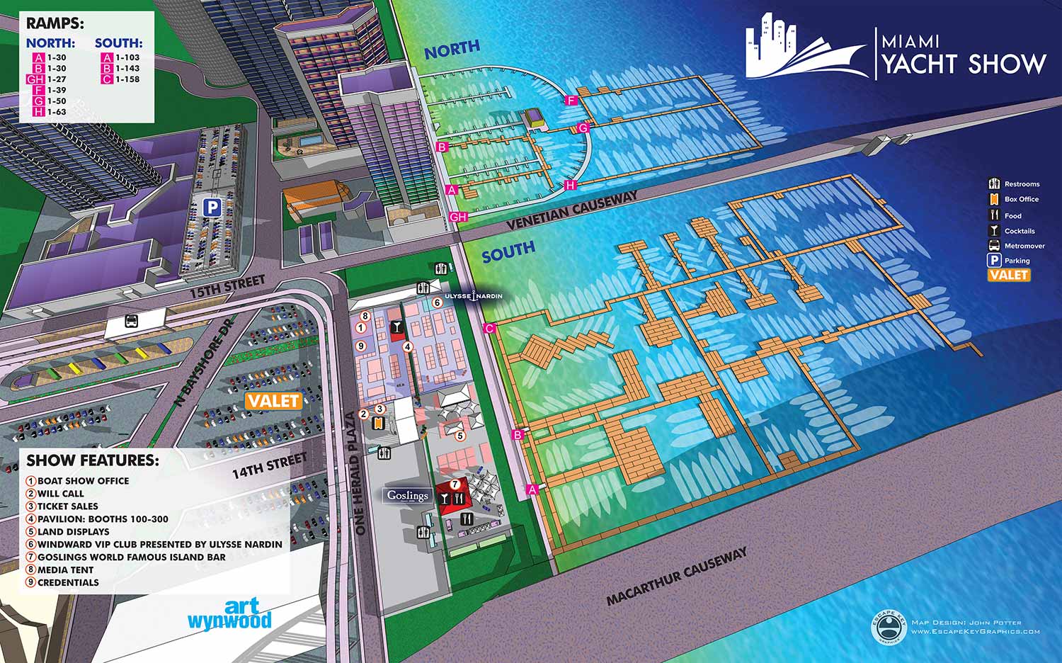
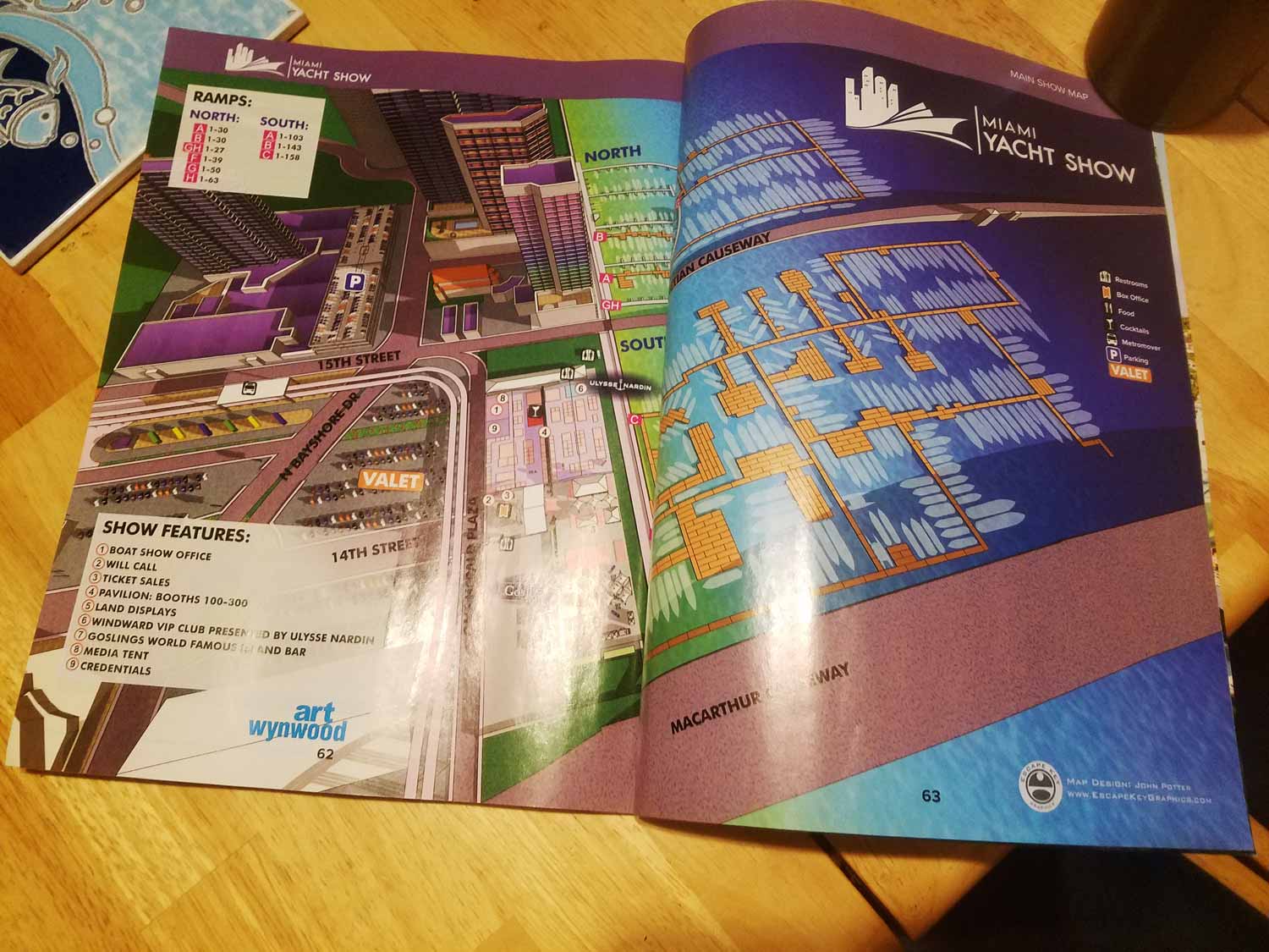
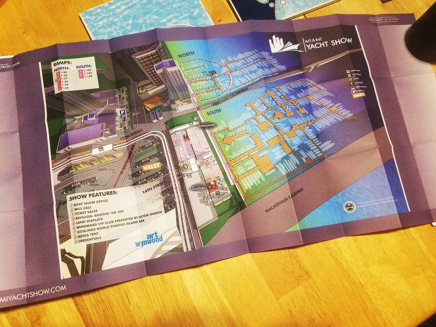
This illustrated map was created for the 2019 Miami Yacht Show, marking the debut of a new venue for Informa Markets. While Sea Isle Marina had appeared in an earlier project, the expanded footprint of the show required a fresh and energetic approach. The map was designed from the ground up to reflect the scale and complexity of the event, while retaining some of the vibrant color language established in the earlier Sea Isle Marina illustration.
Development of the map began several months in advance as part of a proposal illustration, which allowed time to build a detailed three dimensional digital model of the venue. As planning progressed, docks, boats, and temporary show infrastructure were repositioned to match the final layout. A more aerial perspective was selected for the finished map, moving away from earlier presentation styles and providing a clearer overview of the event space and surrounding streets.
Wayfinding elements were carefully organized to support visitor navigation. Dock ramps were identified with lettered markers on bright pink squares, while show features were highlighted with numbered reference points. Recurring amenities were represented with clear icons, and road names were labeled directly on the illustration along with major nearby landmarks such as Art Wynwood. The venue included Sea Isle Marina as well as a temporary marina at One Herald Plaza, a site historically associated with the former Miami Herald offices. Portions of the adjacent land area were also incorporated to accommodate on shore exhibits, resulting in a comprehensive and highly functional event map.
EXAMPLES OF MAPS CREATED FOR MIAMI BOAT SHOWS:


Maps For Boat Shows In Miami:
- About Miami Boat Shows
- Miami International Boat Show / Miami Yacht Show / Yachts Miami Beach / Miami Beach Yacht and Brokerage Show - Show Center/Primary Venue Maps: 2026 | 2025 | 2024 | 2023 | 2022 | 2020 | 2019 | 2018 | 2017 | 2016 | 2015 | 2014 | 2013 | 2012 | 2011
- Transportation Map: 2026 | 2025 | 2024 | 2023 | 2022 | 2020 | 2019 | 2016 | 2013 | 2012
- Program Layout: 2026 | 2025 | 2024 | 2023 | 2022
- Yacht Haven Grande at Island Gardens: 2026 | 2022 | 2020 | 2016
- Miami Beach Convention Center: 2026 | 2025 | 2024 | 2023 | 2022 | 2013 | 2012
- Sea Isle Marina Only: 2013 | 2012
- Miamarina at Bayside Only: 2013 | 2012 | 2011
- Bayfront Park: 2015
- Museum Park Marina: 2025 | 2024 | 2023 | 2022
- Illustration (not a map): 2014
- Video: 2013
Which Miami Boat Show is this?:
Here is all you need to know... I have been making maps for boat shows in Miami since 2011 and in that time a lot has changed. There have been multiple simultaneous shows, show names have changed and now shows have merged. The assorted show titles used have been Miami International Boat Show, Miami Yacht Show, Yachts Miami Beach, Miami Beach Yacht and Brokerage Show and this doesn't include subsections of the shows like Sea Isle Marina, Museum Park Marina and Strictly Sail Miami at Miamarina Bayside. These shows have been managed by different, sometimes competing, management companies. At some point I have been commissioned to make maps for all of them. I'm not going to try to sort this into a comprehensible timeline or anything like that.
I've endeavored to make the maps easy to find but you may find some hidden gems on my site if you dig. Please enjoy these maps for what they are without getting too distracted by the sequence or sponsors/management companies etc.
PORTFOLIOS
- Illustration Portfolio: Start here for custom illustration and book covers. You can also browse illustrated maps and architectural rendering.
- Fine Art: I offer original paintings and drawings, including my Custom Halftone Series. You will also find mural work here.
- Graphic Design & Motion: View my graphic design portfolio. After that, explore motion design and animated illustrations.
- Maps by application: I create illustrated maps for boat shows, resorts, marinas, real estate, transportation, transit and parking, towns and cities, parks, and wayfinding.
- Additional project types: I also produce cover illustration, vehicle and vinyl wraps, proposal renderings, and street art.
- Illustration methods: My techniques include vector, isometric and axonometric, painting, black and white, GeoData maps, overhead maps, and custom halftones.
- Software portfolios: I work primarily in Adobe Photoshop, Adobe Illustrator, SketchUp Pro, and Adobe InDesign. For motion projects, I use Premiere Pro and After Effects.