
Illustrated Map in a Watercolor Style
Artist, Illustrator, Designer: John Potter - Escape Key Graphics
Art Direction: Claire Kunzman
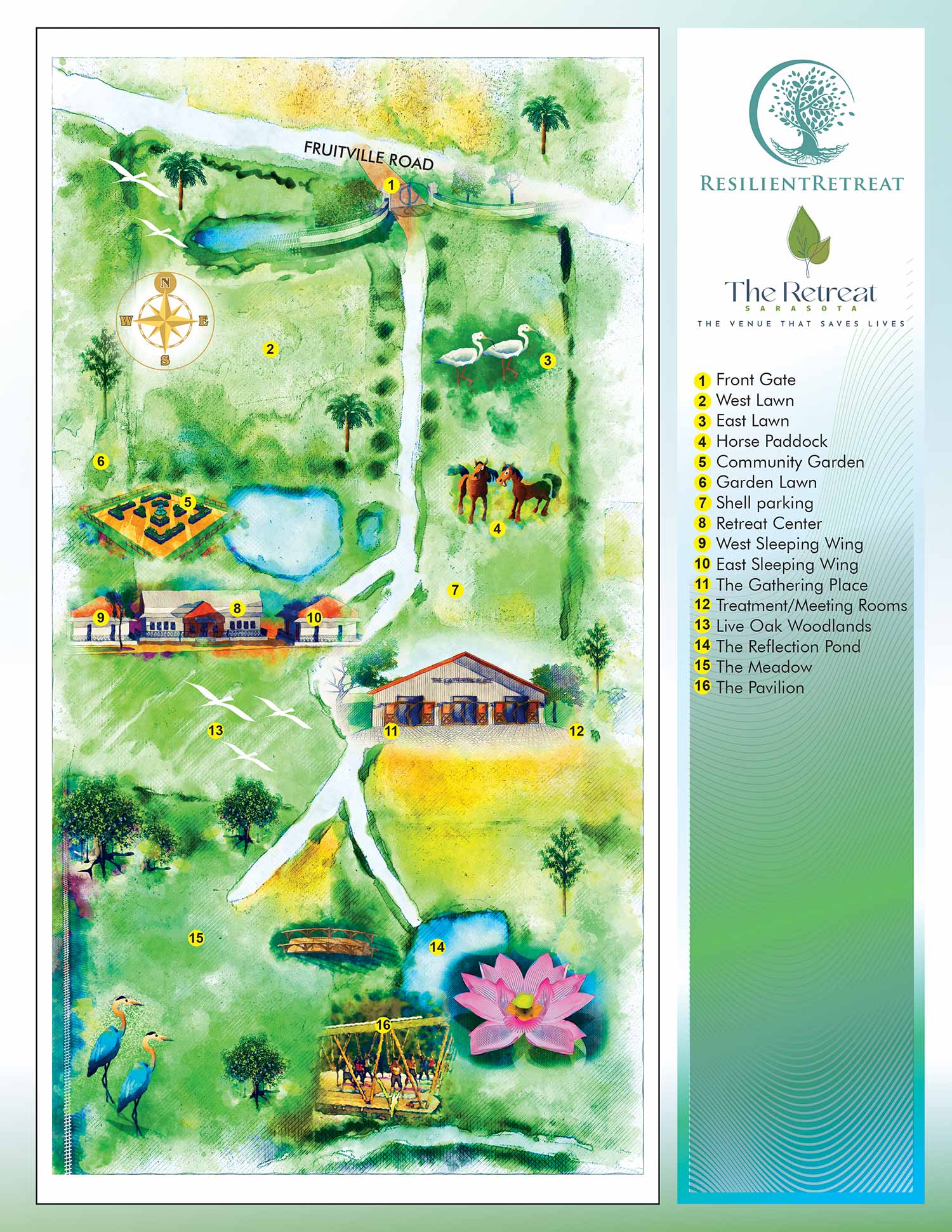
This map was created partially by hand using real watercolor paint. Also used were Sketchup Pro, Adobe Photoshop and Adobe Illustrator.

Route and Stops Map

Transportation & Parking Map

Docks Map

San Diego International Boat Show Map

RV Resort Map

Panhandle Marina Map

Resort Overhead Map

Miami Beach Convention Center

Bimini Docks Map

County Park Maps

Cabin & RV Resort Map

Transportation & Parking Map

Pride Park Map

Parking Map Using GeoData

Convention Center Map

Island Tourism Map

Botanical Gardens Map

Watercolor Map

Pet Resort Map

Sculpture Garden Map

Marina Siteplan

Beach Resort Siteplan

Color Resort Siteplan
PORTFOLIO SELECTIONS
- Custom illustration & covers: Featuring bespoke illustration, book and magazine covers, hand-drawn maps, and building renderings.
- Fine art & murals: Including one-of-a-kind paintings and drawings, the Custom Halftone Series, and large-scale murals.
- Design & motion media: Covering graphic design, plus video and motion and animated illustration.
- Mapping by application: Tailored maps for marine events, hospitality, waterfront, property, transit, municipal, recreation, and navigation needs.
- Additional creative work: Includes editorial covers, vehicle graphics, concept renderings, and public art.
- Mediums & formats: Ranging from digital vector and isometric projection to traditional paint, line art, GIS-based, aerial-style, and halftone.
- Software expertise: Proficient in Photoshop, Illustrator, SketchUp, InDesign, and Premiere/After Effects for motion. More recently I have worked with AI.