
A Refined Guide for the 2023 Fort Lauderdale International Boat Show
Client: Informa Markets
For more (and more up to date) information about the 2023 Fort Lauderdale International Boat Show visit their official site at FLIBS.com.
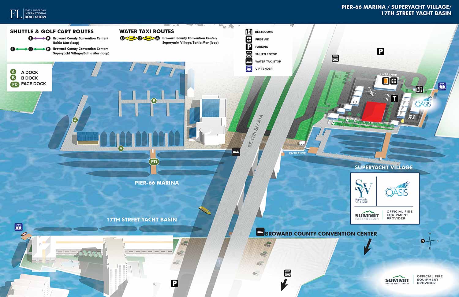
Fort Lauderdale International Boat Show 2023 - 17th Street Causeway - Marinas Map
The illustrated map for the 2023 Fort Lauderdale International Boat Show continued the successful visual framework established in the prior year, prioritizing clear navigation and immediate familiarity for returning guests. While not a broad departure in style, the map required careful updates to reflect changes across the docks, land exhibits, and within the exclusive Superyacht Village, where exhibitor layouts and featured points of interest such as luxury cars or helicopters are reconfigured annually.
This consistency is made possible by our foundational three dimensional digital model, a master file built and meticulously updated over many years. Utilizing this single source ensures accuracy and continuity across all applications. Its versatility is further demonstrated by its use in creating a separate, customized map for Global Marine Travel in 2023, providing them with a cohesive marketing and wayfinding tool specific to their needs.
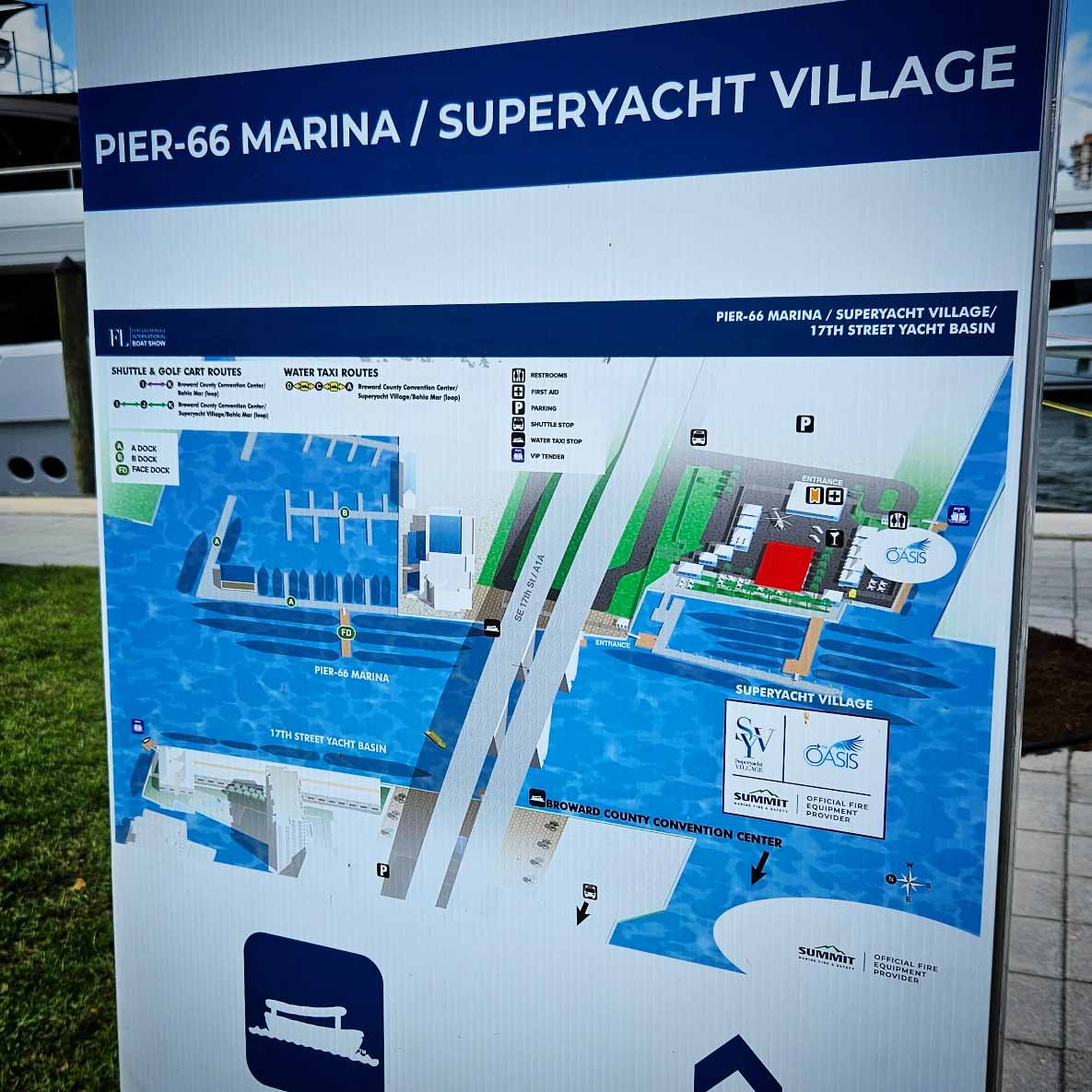
Clarity Through Design
The 2023 map is designed for instant comprehension. Key venue names and the prominent 17th Street Causeway Bridge are labeled directly on the illustration for quick orientation. A distinct system was employed for the Pier Sixty-Six Marina docks, using green dots with white letters for identification. General amenities throughout the show were indicated with a set of intuitive, universally recognizable graphical icons, minimizing the need for textual explanation although a map key is provided.
Sponsor logos for the Superyacht Village were integrated within a dedicated floating box on the map itself. Transportation routes for shuttles, golf carts, and Water Taxis were clearly outlined in a graphical key positioned in the upper left corner, while the header design maintained the standard branding used throughout the official show program.
Beyond Onsite Navigation: A Strategic Marketing Tool
The primary function of an event map is, without doubt, as a navigational aid. These illustrated maps guide thousands of visitors through handouts, signage, and digital apps, proving particularly valuable for those who may not typically use maps. Their clear visual approach simplifies complex layouts to visual thinkers.
However, the utility of a detailed illustrated map begins long before the event opens. It serves as a powerful pre-event marketing asset, capable of replacing generic stock photography and uninformative graphics with substantive, engaging content. By providing an accurate and attractive preview of the event's scale and layout, a map builds anticipation, assists potential attendees in planning their visit, and ultimately helps to drive participation by offering a tangible glimpse into the experience.
Let us transform the logistics of your next event into a clear, attractive, and functional asset. An Escape Key Graphics map is more than a guide; it is an integral part of your event's communication strategy from promotion through execution.
Fort Lauderdale International Boat Show Maps 2023:
Bahia Mar, Swimming Hall of Fame & Las Olas Marina | Transit and Parking | Marinas (17th St Cswy) | Broward County Convention Center Map | Program LayoutFort Lauderdale International Boat Show Maps:
- About Fort Lauderdale International Boat Show
- Bahia Mar, Swimming Hall of Fame & Las Olas Marina Maps: 2025 | 2024 | 2023 | 2022 | 2020 | 2019 | 2018 | 2017 | 2016 | 2015 | 2014 | 2013 | 2012 | 2011 | 2010
- Parking and Transportation Maps: 2026 | 2025 | 2024 | 2023 | 2022 | 2020 | 2019 | 2018 | 2015 Bus | 2015 Water Taxi | 2014 | 2013 | 2012 | 2011
- Broward County Convention Center Maps: 2026 | 2025 | 2024 | 2023 | 2022 | 2017 Sailfish Pavilion | 2017 | 2016 Sailfish Pavilion | 2016 | 2015 Sailfish Pavilion | 2015 | 2014 Sailfish Pavilion | 2014 | 2013 Sailfish Pavilion | 2013 | 2012 | 2011 | 2010
- 17th St Marinas Maps: 2026 | 2025 | 2024 | 2023 | 2022 | 2019 | 2016
- Show Directory Layouts: 2025 | 2024 | 2023 | 2022
- Video: 2013 54th Annual
- Illustrations (not maps): 2014A | 2014B
EXPLORE MY WORK
- Illustration: Discover custom illustrations, book covers, illustrated maps, and architectural renderings.
- Fine Art: Browse original paintings and drawings, view the Custom Halftone Series, or check out mural projects.
- Graphic Design & Motion: See the graphic design collection, then dive into motion design and animated illustrations.
- Maps by industry: View illustrated maps tailored for boat shows, resorts, marinas, real estate, transportation, towns, parks, and wayfinding.
- More project types: Explore cover art, vehicle wraps, proposal renderings, and street art.
- Techniques & styles: Work spans vector, isometric, painting, black-and-white, GeoData, overhead maps, and halftones.
- Software expertise: Primary tools include Photoshop, Illustrator, SketchUp Pro, and InDesign, plus Premiere Pro & After Effects for motion. I am also supplementing some projects with AI.